August 25
I have been communing with the bears by using the bear trails and getting the name Ursa Minor, and I guess they have also been communing with me too, since a bear must have slept next to my tent last night in the grasses. It also tried to get into Hoggle’s bear can and Super Ultra Heavy’s Usack.

Today felt difficult, maybe because I’m just a bit tired now on day 4 after not backpacking in almost a year. But after all the boulders, there were even more today. I thought we would just have the billion boulder day but it might be more like trillions of boulders. I tried to hike in the bear trails, but like yesterday, eventually the beach became such that there were no grasses and it was just rocks pretty much up to the forest.


We came upon a cabin at a point, which meant we were almost to the village of Hesquiat, which is really just a few houses. The mom and daughter who live there sell cedar spoons, baskets and famous fudge, and you can get water there for a donation, but nobody was home, so no fudge for us.

We walked on a grass path after the village and then came to a creek which had decent water, so I filled up my 3.75L capacity. I don’t like hiking with that much water, but the water sources have been so unreliable so far that I’d rather have extra than none. I forgot last night that I had downloaded the Alltrails maps for the Hesquiat trail and I could see people’s comments. They weren’t really too helpful in regards to water sources or campsites though. One man was mostly just complaining about all the rocks and smelly seaweed (valid), and another woman was just like oh what a beautiful sunshiney day! Ok but someone please tell me about the water, and campsite situation.
We were warned by the woman at Air Nootka to not to pet or say nice things to the friendly dog at Hesquiat Village because he would follow us and that she had only gotten one call about it that year. We ignored him, but he followed us to our next campsite anyway which was about 7km more. We kept telling him to go away or go home but he kept following.

My right ankle started hurting quite a bit even though I was wearing one of the same ankle braces I wore on the PCT (not the super duty lace up kind) and I ended up taping it as well. The rocks are so uneven, it was really bothering me. I felt like shouting fuck these rocks! just for old times sake but I refrained. I think my ankles are just not very stable in general from being hypermobile, and I will need braces for both ankles. Before I left for this trip, I ordered a mini balance board that helps to strengthen ankles as well. Every day I’m out here I want to be back on the PCT. The pull is immense.
Why though? I keep asking myself that. What is my why? Last time it was because I wanted to see if I could. I wanted to prove that I was stronger than EDS, and I promised to never let it win. I think I did succeed in that way. But I allowed myself to follow other people instead of trusting myself. I think that’s how I got injured. Maybe it was EDS too, but more likely it was the wrong gear, hiking with the wrong people, or hiking with the absolute right people at the wrong pace. Maybe that’s what feels unfinished for me. If I truly hiked my own hike, could I hike the whole trail?

Before I hiked the PCT, I wore a size 6.5 or 7 shoe and by the end of the PCT I wore a size 9 wide. My feet have shrunk back down to a size 8 but none of my pre-PCT shoes fit. I have extremely high arches and with the weight of a pack and lots of walking, they collapse, and my feet grow. Today I started having some of the same foot pain I had at the beginning of the trail in the navicular bone area which stopped hurting after my feet stopped growing, so I’m hoping that’s what’s happening. If I can really get a ton of miles in before the PCT with enough recovery time, having such horrible foot and shoe issues and the subsequent delays might not be a factor.

After Hesquiat Village, we went around into Hesquiat Harbor where the beach was smaller pebbles but still hard to walk on. There were a few giant blowdowns that we had to take off our packs and climb through a bunch of fallen trees that extended from the forest out into the water. But I could see sand up ahead and was hoping it was easy to walk on.

We came to an inlet where all the notes on the map said to cross at low tide, but we couldn’t wait until 2am so we walked through the water in Crocs. It wasn’t that deep. Hoggle offered to go across without a pack to test how shallow it would be, but the dog that followed us bounded across the water and it wasn’t more than leg deep on him. He was finally proving to be useful. He must be an outside dog because he was rolling around in seaweed, swimming in the water, and very happy to be out there too.
As we were walking North, the wind started picking up and blowing clouds into the harbor from offshore. The calm harbor quickly started getting whitecaps which means wind of more than 15 knots. The water which had been almost a tropical green color quickly turned dark grey. We kept walking and I put on my jacket which is a rare thing for me to hike in. I just wanted to be in my bed inside my tent.
Soon after, we came to Bwan’as Creek which had water, so some people filled up, but I had about 3L. We had to scale a bunch of rocks to go around the next point, which on the map said to use a bypass trail or go at low tide. We were looking for a bypass trail but nothing was marked and we couldn’t see any sort of trail. We asked the dog to find the trail and he ran into the woods a few times waiting for us. Would I follow a random dog into the woods? Honestly at that point, I was tired enough that I might. But we opted for the rocks which wasn’t as sketchy as it looked from shore. There were ways to bypass all the fallen logs and slippery covered seaweed rocks pretty entirely.
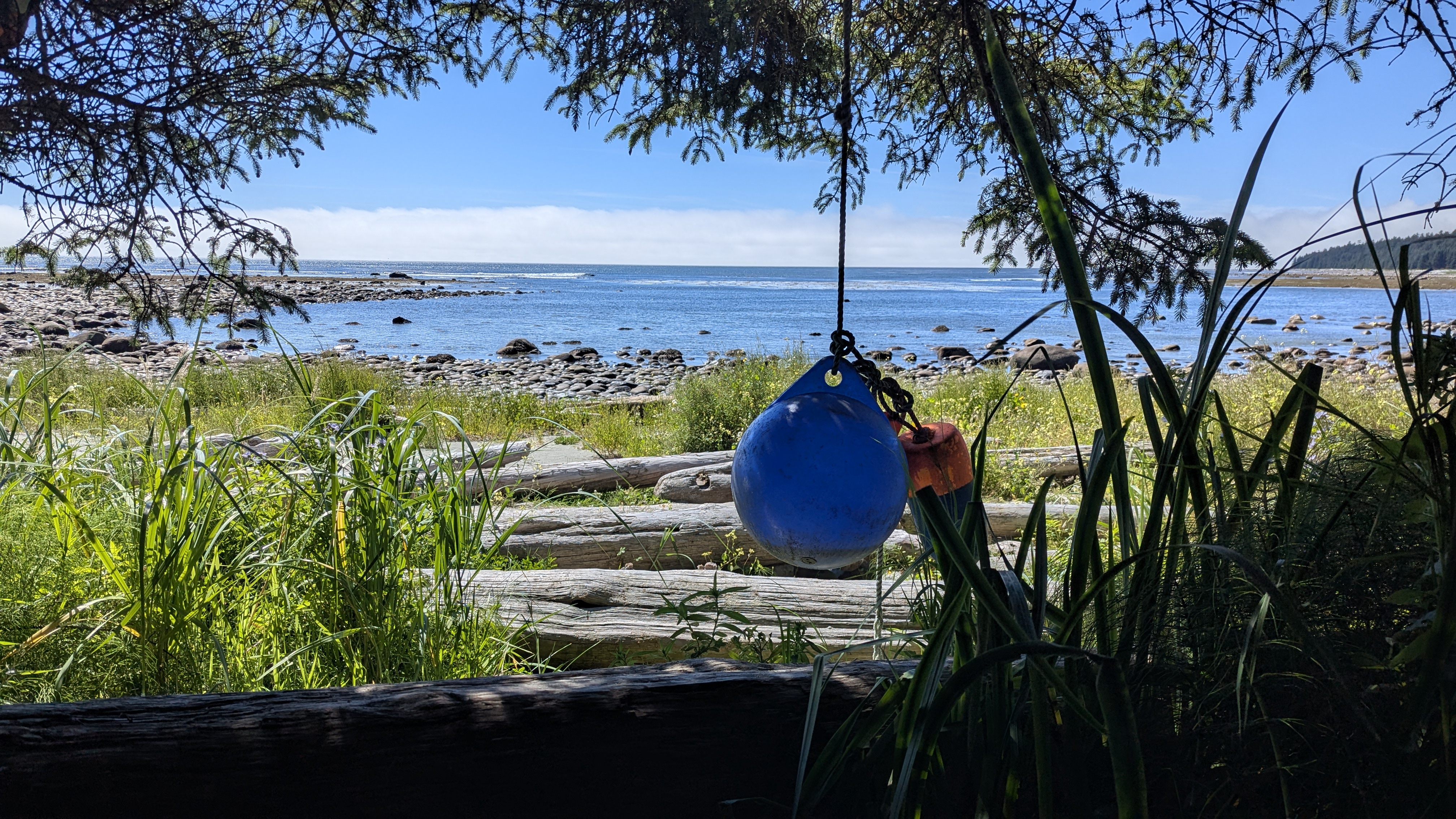
We went around Le Clair point and there was another water source not marked on a map, but had a white buoy on a tree branch so I filled up my cnoc all the way. I forgot to take a photo of it in case anyone is reading this for water information.
We realized we had passed the place where the campsite was marked on the map but found some spots under some trees next to the stream where it says “leads to waterfall?”.
We figured the dog would go home after he realized we weren’t going to give him any food but he was wandering around the campsite in the trees.
I’m quite tired. One more day.